Discover
Laos
From mountain passes in Phongsaly to river islands in Champasak — every province of Laos carries its own character, history and landscapes. Explore all 18.
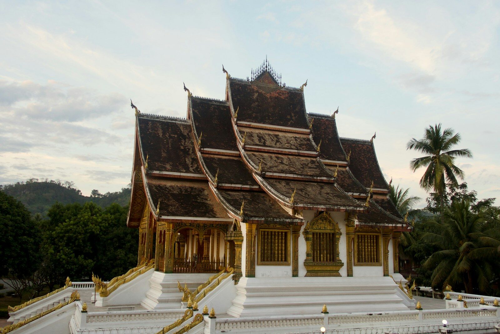
Luang PrabangTemples, waterfalls & morning alms
"Where the Mekong and Nam Khan rivers meet, and 34 golden temples glow at dusk."
A UNESCO World Heritage peninsula where saffron-robed monks walk silent streets at dawn. Kuang Si Falls drops 50 metres into turquoise limestone pools 29 km away. Every morning the Tak Bat alms-giving ceremony fills the misty streets with silence and saffron.
Luang NamthaNam Ha jungle, rivers & ethnic villages
"Laos's unabashed adventure capital — at the crossroads of China, Myanmar, Thailand and Vietnam."
The Nam Ha National Protected Area covers 220,000 hectares of primary forest. Dozens of trekking agencies offer options from day hikes to multi-day jungle camps with over 30 ethnic minority groups accessible by kayak and foot. The slow-boat to Luang Prabang passes through pristine riverside scenery.
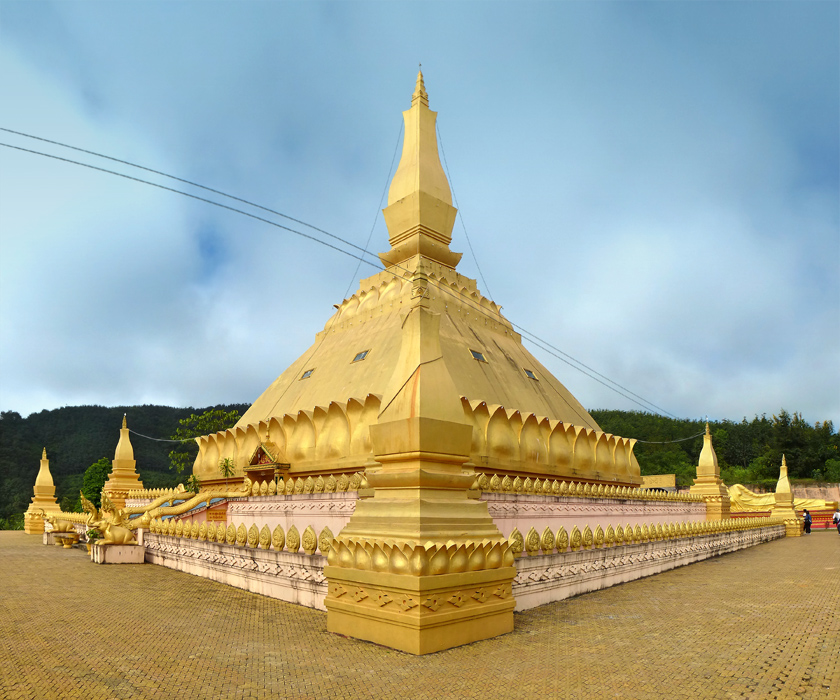
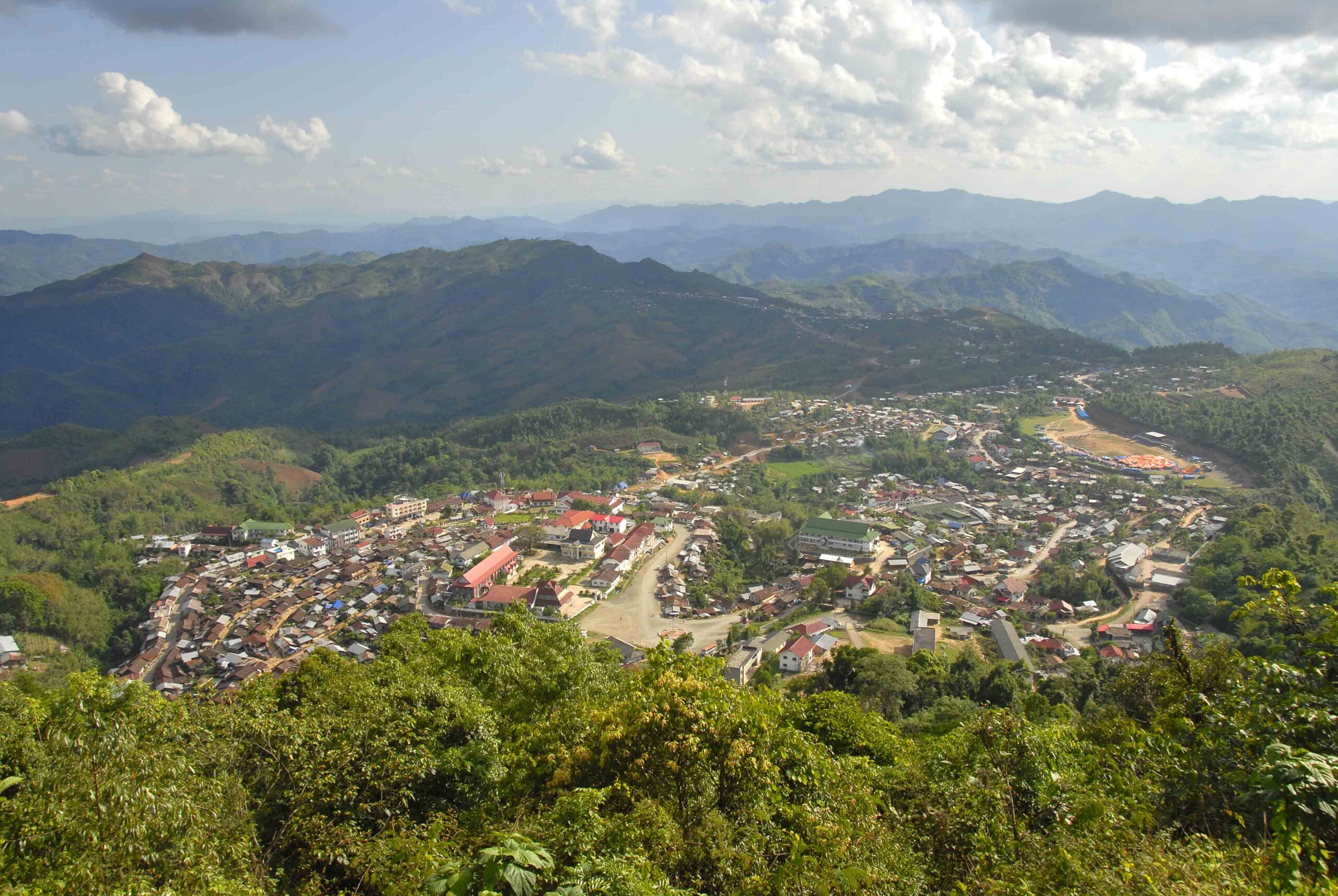
PhongsalyHigh altitude tea, 22 hill tribes & China border
"Ancient wild tea trees, Yunnan cuisine, and 22 distinct hill tribes still living by their traditions."
Laos's northernmost province borders China's Yunnan at high altitude. 22 distinct hill tribes preserve traditional costumes and customs. Ancient wild tea plantations grow here, and Chinese Yunnan dialect is spoken more than Lao.
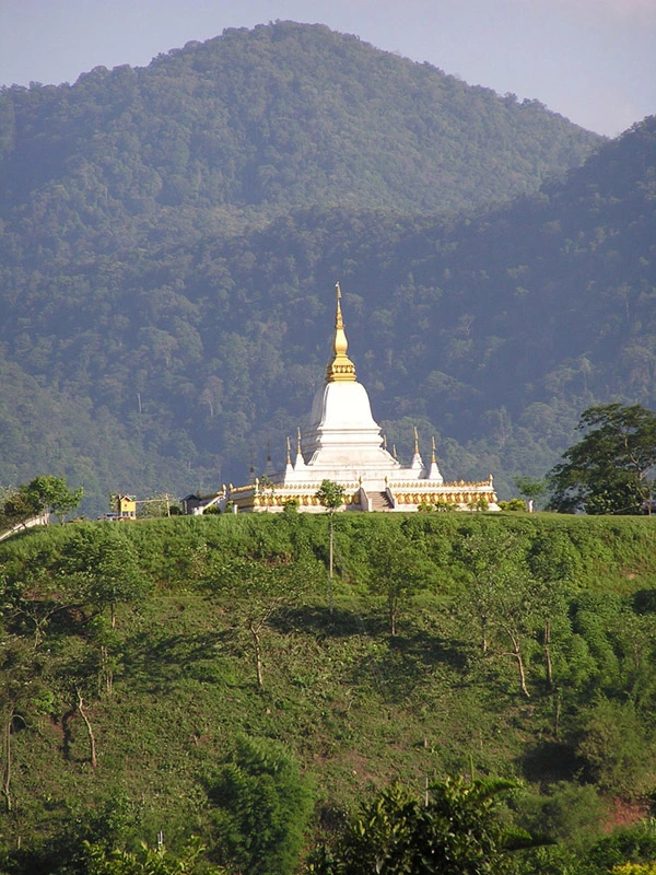
OudomxayHot springs, mountain markets & Muang La
"The gateway hub of the deep north — where roads fan out toward China, Phongsaly and Luang Namtha."
Udomxai is the hub from which the far north branches out. Muang La, just north of town, has natural hot springs beside an ancient wat with a sacred stone bearing Buddha's footprint.
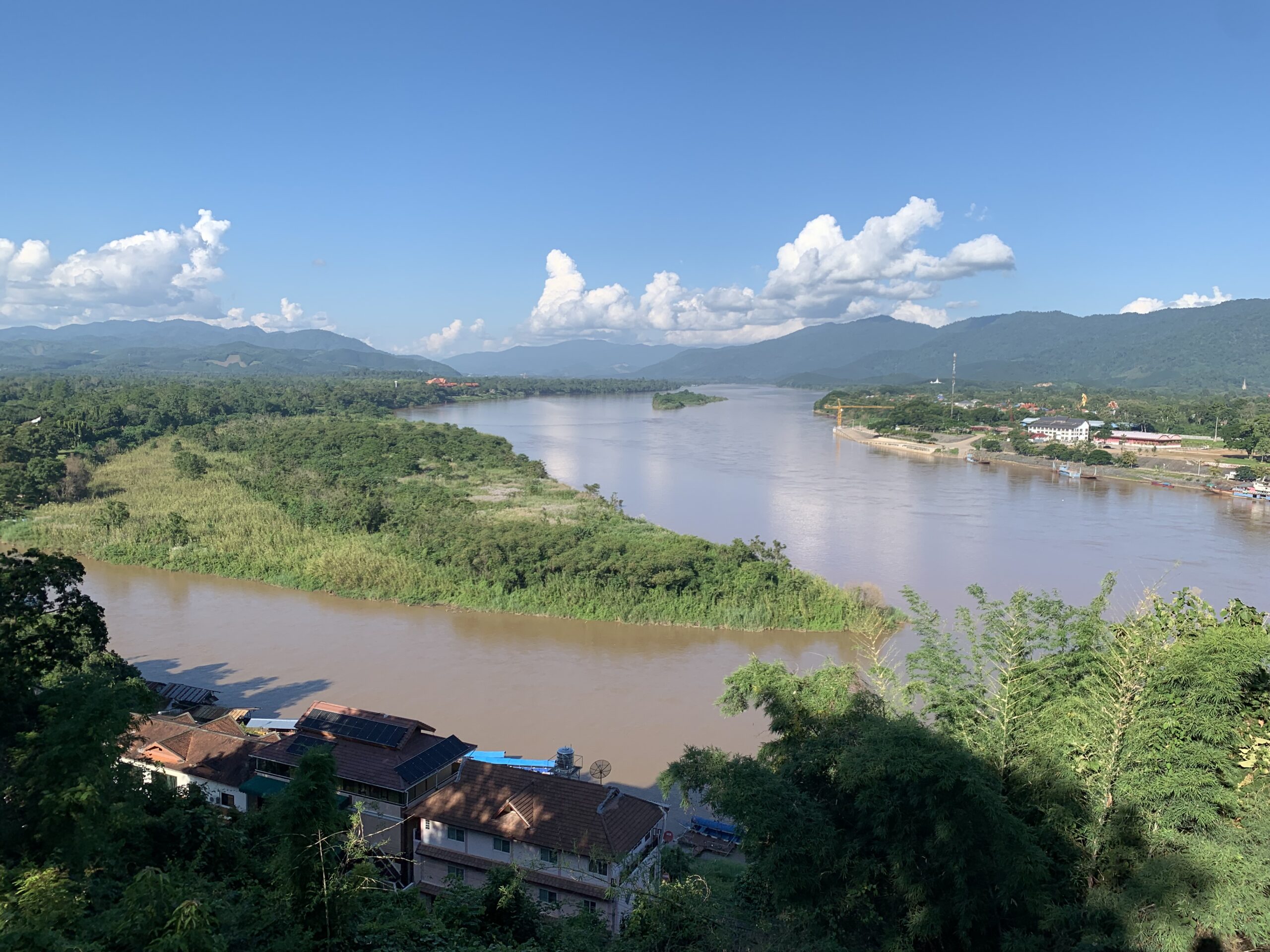
BokeoGibbon Experience, treehouses & Mekong border
"Zip-line between treetop platforms at 40 metres above a forest floor that few humans ever see."
Bokeo is home to the legendary Gibbon Experience — eco-tourism where guests zipline through primary forest and sleep in treehouses 40 metres above ground. Huay Xai on the Mekong is the Thai–Lao border crossing and slow-boat departure point.
SainyabuliElephant Conservation Centre & Nam Pouy wilderness
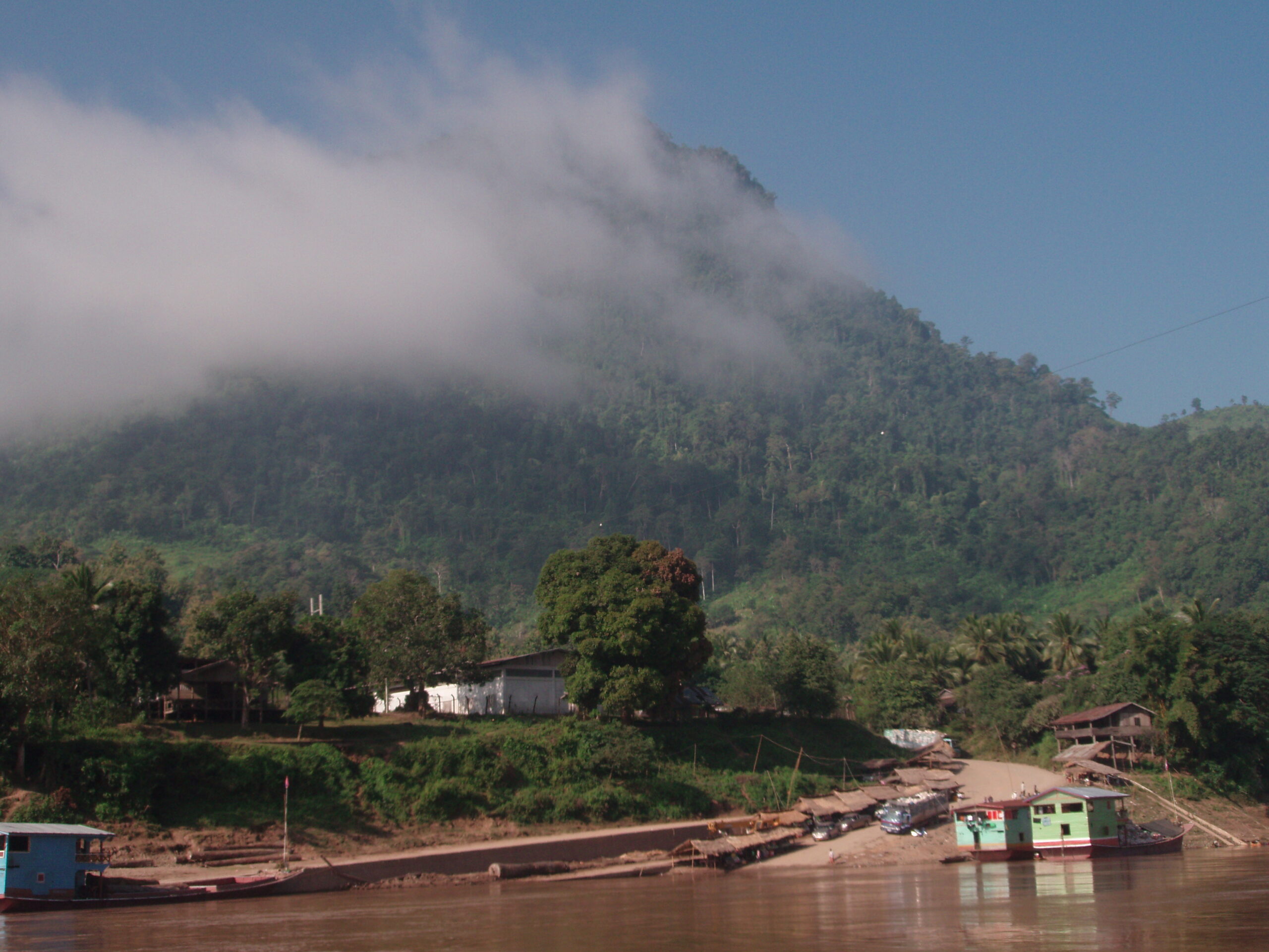
"Sainyabuli holds the largest elephant population remaining in Laos."
The Elephant Conservation Centre sits on a reservoir island and offers genuine ethical overnight stays — observation, not rides. The vast Nam Pouy National Protected Area is a wild frontier with elephant corridors.
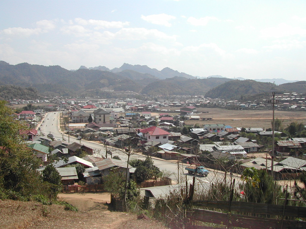
HouaphanhVieng Xai — the underground city that survived the bombing
"20,000 people lived underground for nine years to survive the most heavily bombed region in history."
During the Vietnam War era, Houaphanh received over 2 million tons of US bombs. The Vieng Xai cave complex housed the Pathet Lao leadership and 20,000 followers in 480 caves turned into a fully functioning hidden city.
VientianeGold stupas, French boulevards & Mekong sunsets
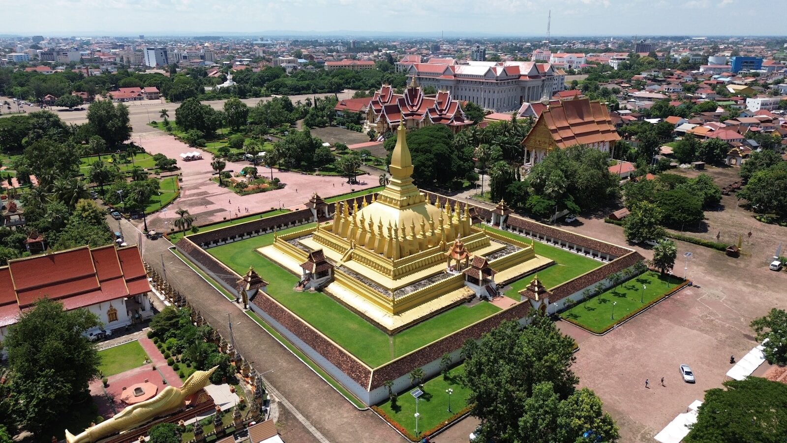
"The most relaxed capital city in Asia — golden temples, café culture and the wide Mekong."
Pha That Luang, the golden stupa and national symbol, blazes at dusk. The Buddha Park lines a Mekong meadow with 200+ statues including a 40-metre reclining Buddha. The Laos–China railway connects Vientiane to Luang Prabang in under 2 hours.
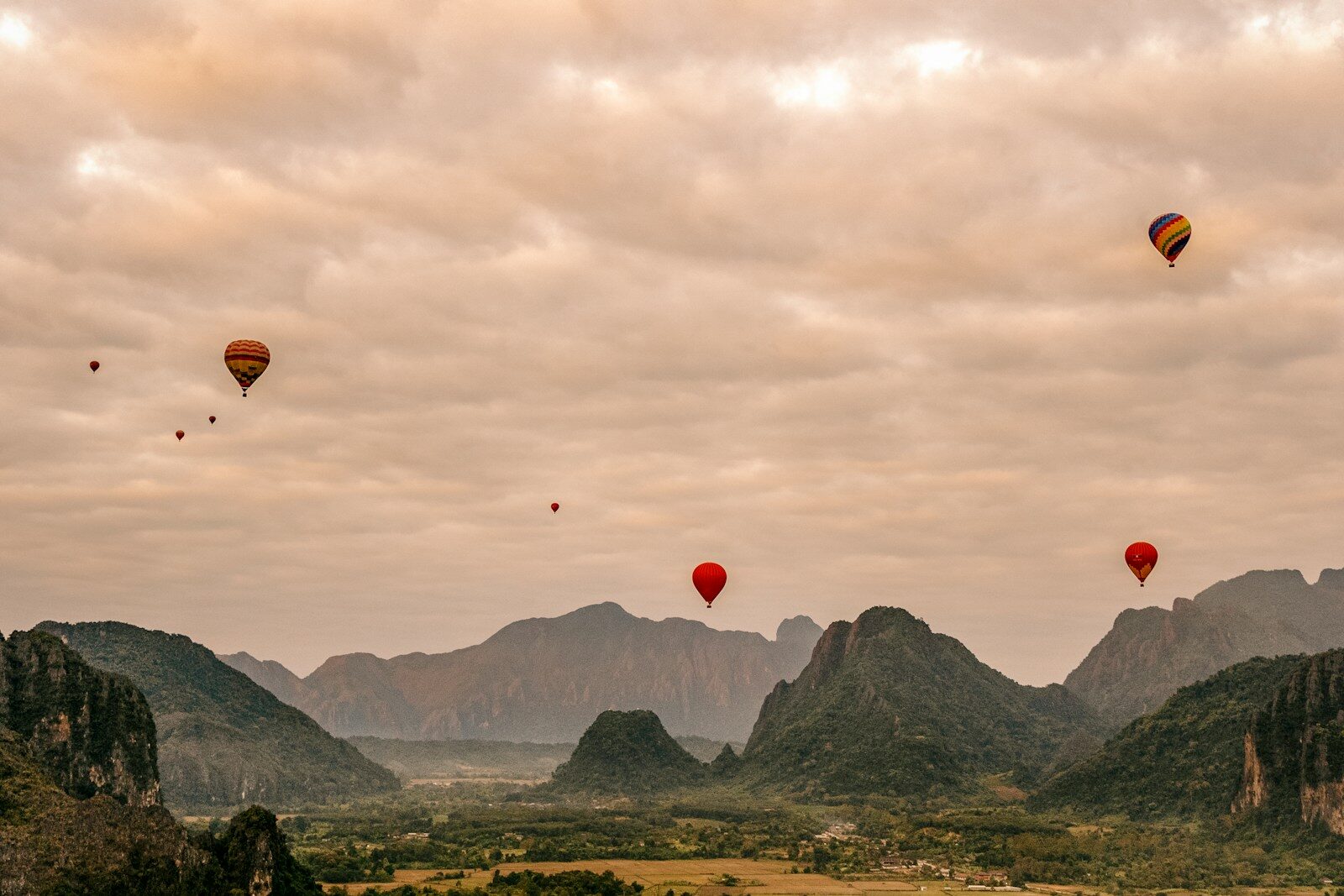
Vang ViengBlue lagoons, cave systems & the Nam Song River
"Limestone towers from a fantasy novel. Turquoise lagoons inside cave entrances."
The Nam Song River flows between dramatic limestone karst formations. Blue Lagoons 1, 2 and 3 hide behind cave entrances. The Laos–China high-speed rail now connects Vang Vieng to Luang Prabang in just 40 minutes.
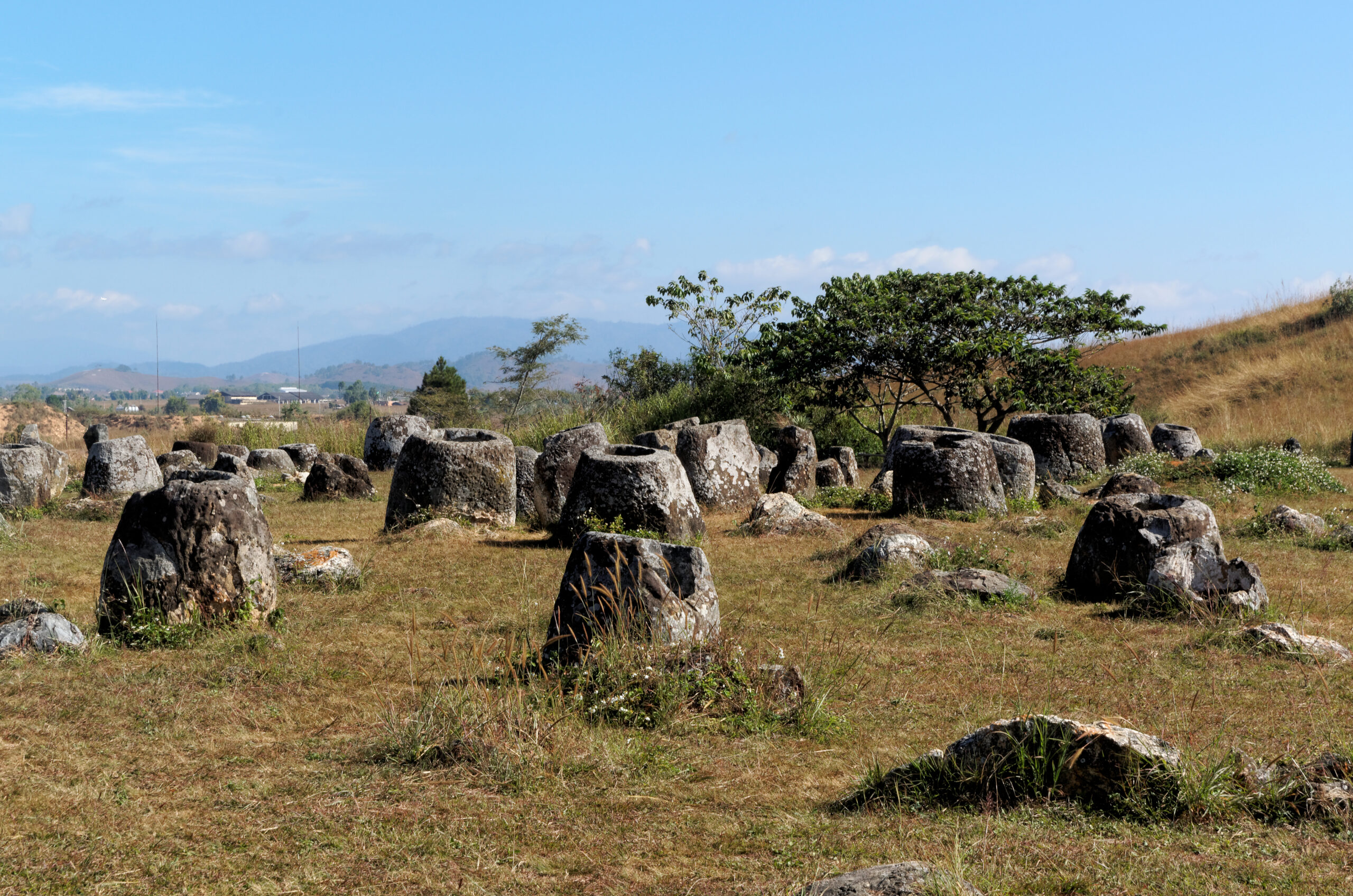
Xieng KhouangPlain of Jars — archaeology's great mystery
"2,000-year-old stone jars, up to 3 metres tall, scattered across a highland meadow. Nobody knows why."
The Plain of Jars became UNESCO World Heritage in 2019. Carved stone vessels up to 3 metres tall are scattered across highland grassland. Ban Napia village makes spoons from bomb casings — scrap metal turned to craft.
BorikhamxayWind turbines above the clouds & jungle gorges
"A 4WD road climbs to turbines at 1,400 metres — spinning above a morning sea of cloud."
Lak Sao is the gateway to raw central Laos. The Truong Son Wind Farm at 1,400 metres offers one of the most spectacular — and least-visited — views in the country. Borikhamxay is an ecotourism centre with two national protected areas and the remote Khamkheut Eco Zone.
KhammouaneKong Lor cave, karst towers & the Tha Khaek Loop
"A 7.5 km river flows through a mountain. A canoe takes you all the way through."
Kong Lor Cave is 7.5 km long — the Nam Hinboun River flows through it and a guided boat ride takes you through the entire mountain. The famous Tha Khaek Loop is a multi-day motorbike circuit through dramatic limestone towers.
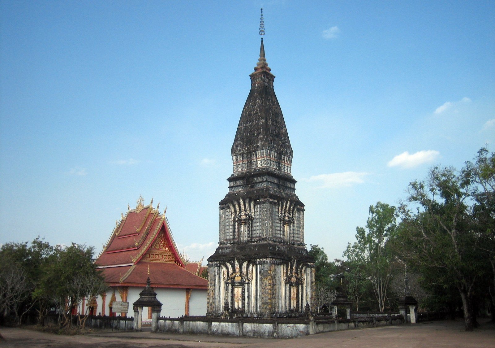
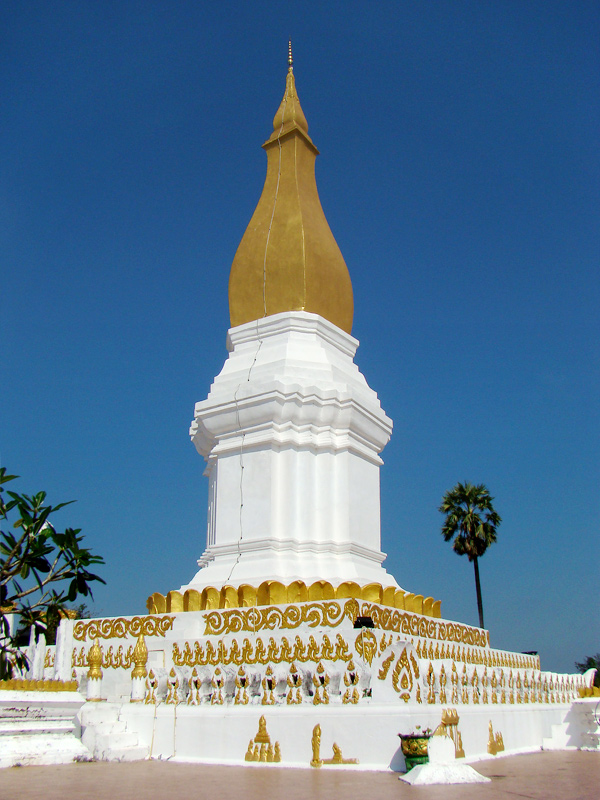
SavannakhetColonial riverside town & That Ing Hang stupa
"Laos's largest province — a faded French quarter on the Mekong, unhurried and authentic."
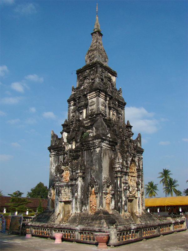
Savannakhet town has a charming French colonial quarter along the Mekong. The That Ing Hang Stupa — a revered 16th-century Buddhist tower believed to house a relic of Buddha — draws pilgrims from both Laos and Thailand.
ChampasakWat Phu, 4,000 islands & Bolaven Plateau
"The Khmer Empire's mountain temple in Laos — built on a sacred peak above the Mekong, 500 years before Angkor."
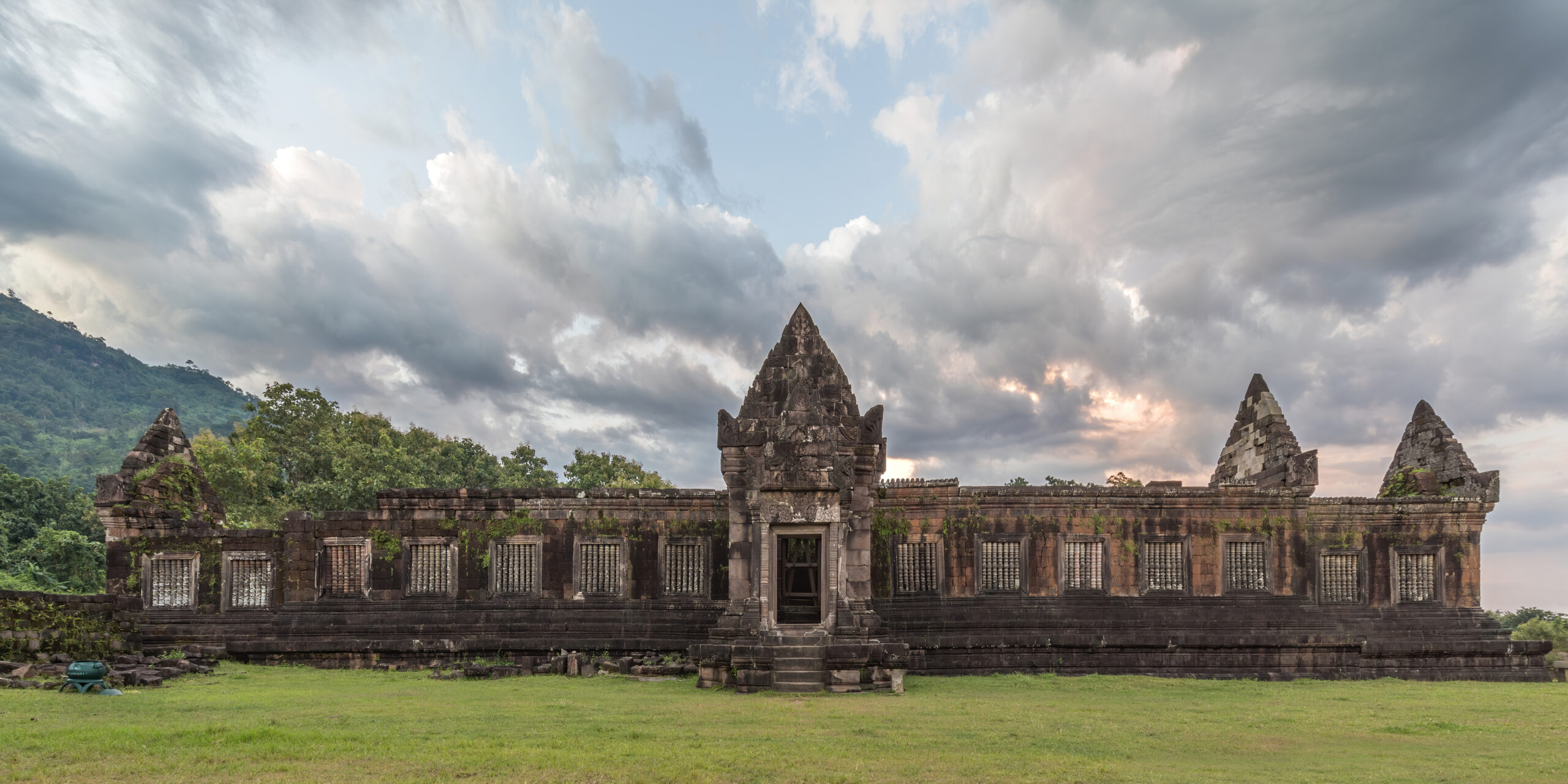
Wat Phu, a pre-Angkorian temple from the 5th century, is a UNESCO World Heritage Site. The Mekong fans into Si Phan Don (4,000 Islands) — river life, freshwater dolphins. The Bolaven Plateau grows the finest coffee in Laos beside 120-metre Tad Fane.
SalavanBolaven highlands, ethnic villages & waterfall country
"Alak, Katu and Laven women with face tattoos still preserve centuries-old customs."
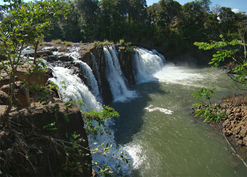
Salavan shares the fertile Bolaven Plateau but is wilder and far less visited. Alak, Katu and Laven women with face tattoos preserve traditional customs in highland villages. Waterfalls cascade off the plateau edges.
SekongRemote highland jungle on the Vietnamese border
"One of the least visited provinces in Laos — highland jungle with almost no tourism infrastructure."
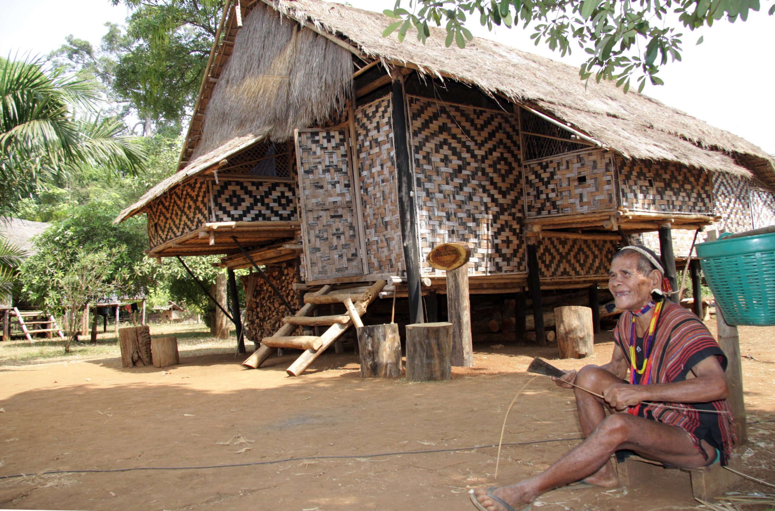
Sekong borders Vietnam and is one of the most isolated provinces in Laos. Dense highland jungle, the upper Xe Kong River, and ethnic villages accessible only by rough track. Not for casual travellers — but extraordinary for those who seek it out.
AttapeuHo Chi Minh Trail remnants & Xe Pian wildlands
"Parts of the legendary Ho Chi Minh Trail can still be explored on foot from Attapeu."
Attapeu is where the Suay (Kui), renowned elephant handlers, have lived for centuries. Parts of the Ho Chi Minh Trail pass through the province. The Xe Pian NPA stretches north, hosting 29 ecosystem types including Asian elephants and tigers.
XaysombounLaos's highest peak & remote Hmong highlands
"A high-altitude special zone — restricted access, rugged terrain, very few visitors."
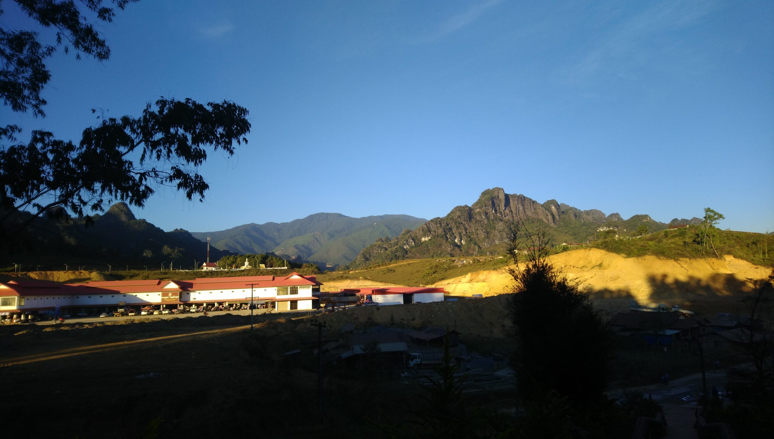
Re-established as a special administrative zone in 2013. Phou Bia mountain at 2,820 metres is the highest point in Laos. Access is partially restricted. Hmong and other ethnic communities live in remote highland villages.
3 UNESCO World Heritage Sites, Khmer temple ruins and 600-year-old royal capitals untouched by mass tourism.
Turquoise waterfalls, limestone karsts, Mekong islands and cloud-piercing mountain ridges.
The most peaceful country in Southeast Asia. Laos does not rush — and neither will you.
World-class experiences at a fraction of neighbouring countries. Your kip goes a long way here.